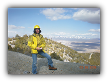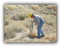


Brad Bond BS
GIS Specialist
Bradley Bond is a GIS analyst with over ten years of experience supporting environmental projects. He uses the ArcGIS suite, along with programming languages such as python, to create cutting edge data visualizations. Mr. Bond provides raster analysis/surface creation, spatial statistics, grid creation/contouring, editing/digitizing, three-dimensional analysis/display, database queries, and data collection/projection. He also uses his cartographic skills to effectively create figures both for technical reports and for in-house visual reference. Project managers rely on his skills to complete figures and mapping tasks in a timely manner, with an accurate display of information.


GOOD SCIENCE
HARD WORK
CREATIVE THINKING


